


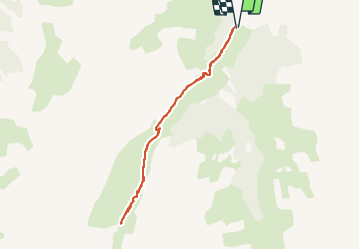

7,7 km | 13,7 km-effort

Utilisateur


Application GPS de randonnée GRATUITE
 SityTrail
IGN / Instituts géographiques
SityTrail World
Le monde est à vous
Randonnée Marche nordique de 7,5 km à découvrir à Provence-Alpes-Côte d'Azur, Hautes-Alpes, Les Orres. Cette randonnée est proposée par Gegetop.
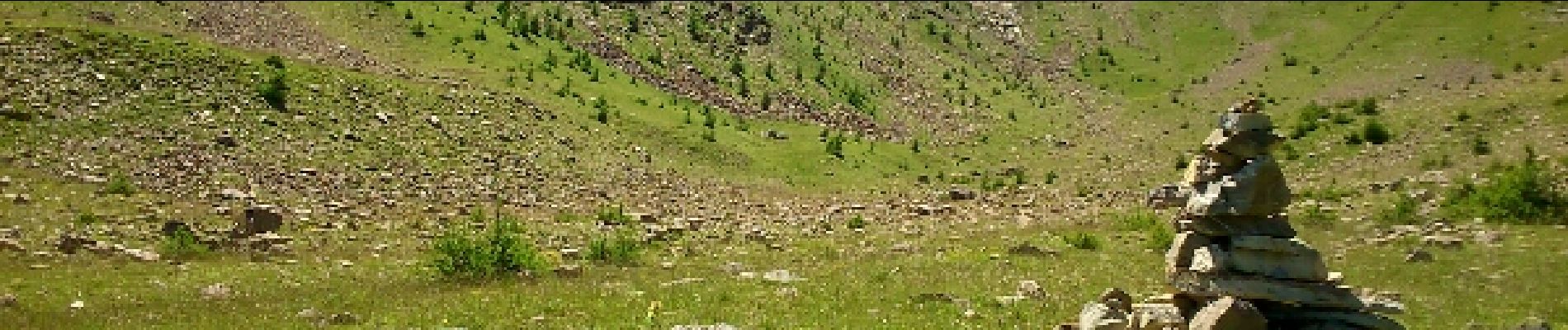
Petite rando sympa dans un cadre sauvage et encaissé où les marmottes sont nombreuses.


Marche

Marche

Marche

V.T.T.

Marche

Marche

Marche

Ski de randonnée

Raquettes à neige